Geotechnical Domain Builder
This app is for building and managing geotechnical domain models in mXrap. Domains are used across many workflows to classify and compare data consistently, such as seismicity and rock mass data. You can create multiple domain models and switch which model is active.
Key Features
- Two dividing methods:
- Divide space using volumes
- Divide space using HW/FW contacts
- Progressive subdivision of space
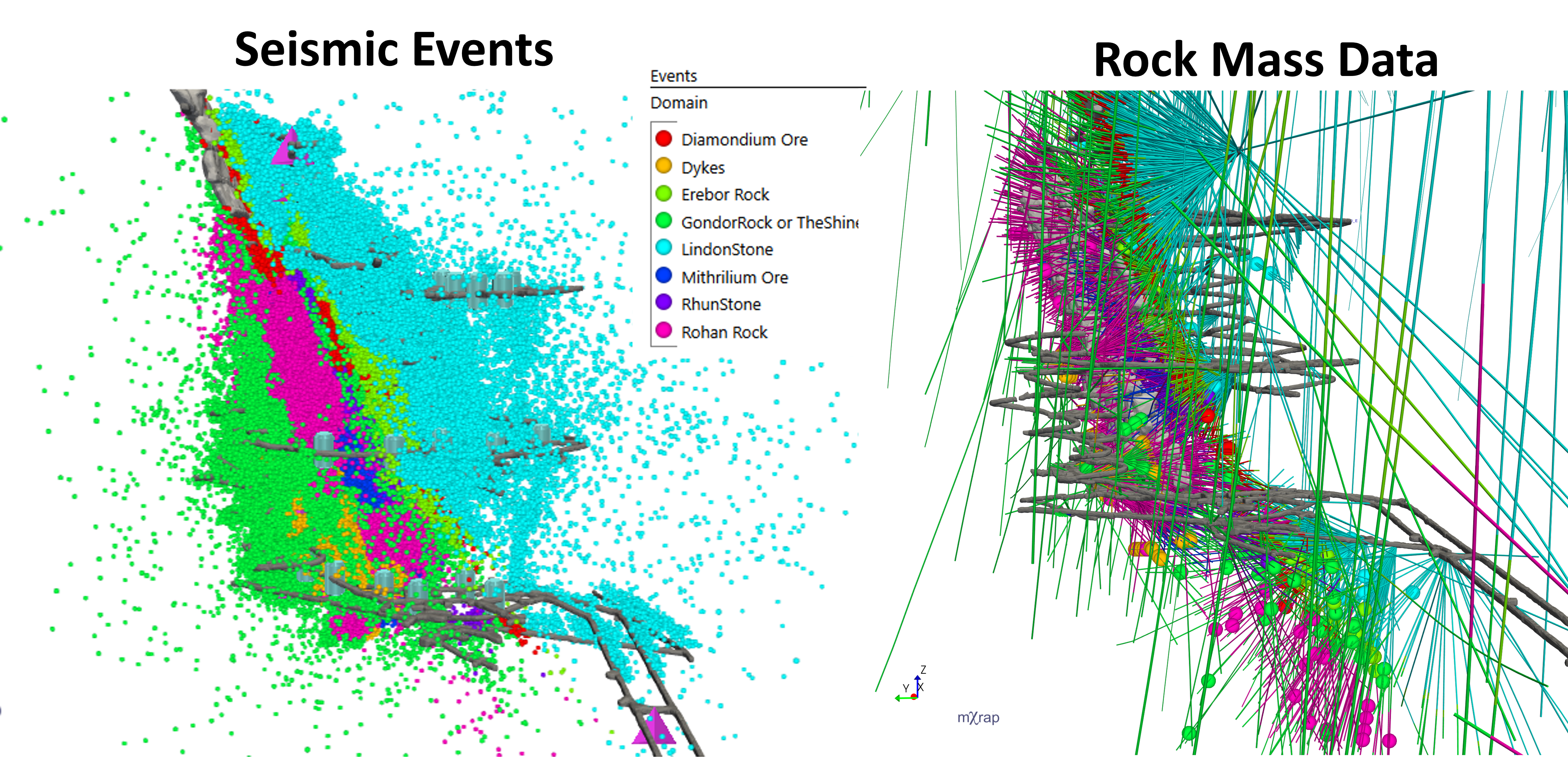
- Other mXrap apps can then identify the domain of anything located within these volumes (e.g. rock mass data, seismic events)
- Classify data for analysis: assign domains to points and intervals so charts, statistics and filters can be reported by domain.
- Consistent filtering and grouping: use the same domain definitions across apps to keep results comparable.
- 3D visualisation: display domain regions alongside geometry, seismicity and other spatial layers.
- QA and change tracking: compare interpretations, test updates and switch models without rebuilding or reimporting your data.
Supported Data Types
- Surveys: All survey formats supported by mXrap’s core survey tools (dxf, vdcl, dtm).
- Boundaries (e.g. faults, lithological contact, etc.)
- Volumes (e.g. lithologies, fault zone, etc.)
Demonstration
No video yet